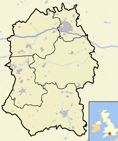
Stonehenge Location Map
Home > Maps of England > Stonehenge Location Map
Welcome to our Stonehenge map page. The map of Stonehenge that is located below is provided by Google Maps. You can "grab" the electronic map and move it around to re-center the map. You can change between standard map view and satellite map view by clicking the small square on the bottom left-hand corner of the map. Satellite map view utilises orbiting satellite and / or aerial high-resolution photography to display images of the map location to street level detail (really quite amazing). Standard map view shows a traditional street map (also known as a road map). You can use the zoom buttons on the bottom right-hand side of the map to zoom in or out to street level detail. We have digital online maps for most towns and cities on the Maps of England page. We also have a good collection of old school printable maps on the Maps of England page.
Switch to Satellite Mode and "zoom in" (using the + button on the map) and you will see the actual Stonehenge Monument. You will also see the impressions of many other man made features in the surrounding countryside.
I hope you like the Stonehenge, England street map / road map situated above.
If you like our website, please consider adding a link to the site. These links help to build website traffic and they are considered a vote of confidence for a site.
Stonehenge is a prehistoric monument on Salisbury Plain in Wiltshire, England, two miles (3 km) west of Amesbury. It consists of an outer ring of vertical Sarsen standing stones, each around 13 feet (4.0 m) high, seven feet (2.1 m) wide, and weighing around 25 tons, topped by connecting horizontal lintel stones. Inside is a ring of smaller bluestones. Inside these are free-standing trilithons, two bulkier vertical Sarsens joined by one lintel. The whole monument, now ruinous, is oriented towards the sunrise on the summer solstice. The stones are set within earthworks in the middle of the most dense complex of Neolithic and Bronze Age monuments in England, including several hundred tumuli (burial mounds).
Archaeologists believe it was constructed from 3000 BC to 2000 BC. The surrounding circular earth bank and ditch, which constitute the earliest phase of the monument, have been dated to about 3100 BC. Radiocarbon dating suggests that the first bluestones were raised between 2400 and 2200 BC, although they may have been at the site as early as 3000 BC.
Stonehenge Location Map

One of the most famous landmarks in the United Kingdom, Stonehenge is regarded as a British cultural icon. It has been a legally protected Scheduled Ancient Monument since 1882, when legislation to protect historic monuments was first successfully introduced in Britain. The site and its surroundings were added to UNESCO's list of World Heritage Sites in 1986. Stonehenge is owned by the Crown and managed by English Heritage; the surrounding land is owned by the National Trust.
Stonehenge could have been a burial ground from its earliest beginnings. Deposits containing human bone date from as early as 3000 BC, when the ditch and bank were first dug, and continued for at least another 500 years.
From Wikipedia, the free encyclopedia.
Music


